

What sets us apart
Clear reference points for your build
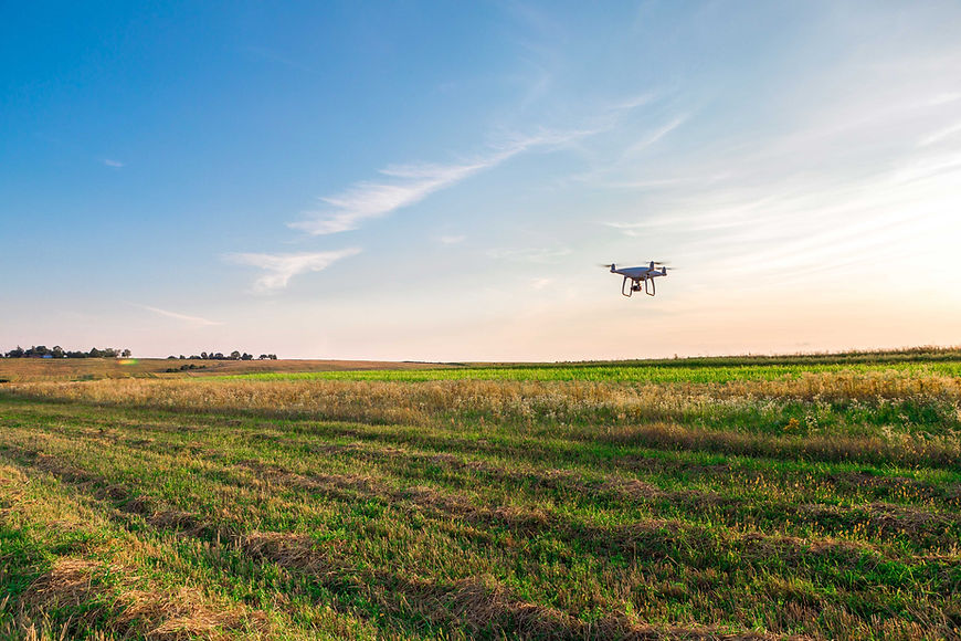
Accurate drone models and images to accompany our other surveys.
Coordination with design and contractor teams
Seamless communication with stakeholders to ensure drone work aligns perfectly with engineering specifications and plans as well as surveying projects.
Ongoing precision checks throughout construction
Continuous verification of levels and coordinates to maintain accuracy and prevent errors during the build.
Why do you need a drone survey from us?
Experience efficient and precise data collection with our cutting-edge drone survey services. Our expert team utilises state-of-the-art drones equipped with high-resolution cameras and advanced sensors to gather detailed aerial imagery and terrain data with high accuracy positioning we are able to align our drone operations with our other survey services.
Our expert team utilises state-of-the-art drones equipped with high-resolution cameras and advanced sensors to gather detailed aerial imagery and terrain data. Whether it is a Golf Course Survey, Marina mapping, Roof Inspections or a 3D visualisation model, we have done it all. We are able to plan, fly & produce our surveys in quick time.
We are able to produce Photogrammetry and Lidar models using our drone technology, paving the way for quicker turnarounds for projects and able to gain access to areas that are not possible on foot.
We have PDRA01 Operational Authorisation from the UK CAA, meaning that all our flights are flown legally, logged and audited to ensure strict compliance.
Experience efficient and precise data collection with our cutting-edge drone survey services. Our expert team utilises state-of-the-art drones equipped with high-resolution cameras and advanced sensors to gather detailed aerial imagery and terrain data with high accuracy positioning we are able to align our drone operations with our other survey services.
Our technology minimises human error and ensures comprehensive coverage of even the most challenging terrains. With our streamlined process, clients benefit from reduced operational costs and faster project turnaround times. Trust our experienced drone pilots to navigate complex landscapes and capture crucial data with precision. Enhance your project planning and decision-making with actionable insights derived from our drone survey reports.
Contact us today to leverage the power of aerial surveying and propel your projects to success. Drone images and models can also supplement our land surveying, topographical surveys and building surveys.

Flexible Drone services for diverse projects
We have different drones for different projects allowing us to use the best tool for the job.
We can utilise different sensors: Camera, Lidar, Multispectral and Thermal to get the best results for your project.
Drone technology reduces project cost by removing the need for "Boots on the Ground".
How we deliver accurate drone support
We combine years of hands-on experience with the latest surveying technology to offer a reliable drone surveying service. We are able to produce repeatable, accurate results for one off projects or on-going as built projects for construction, agriculture and residential.
Why accurate Drone Surveys matter.
Accurate drone surveys minimise delays, reduces the risk of rework, and supports safer outcomes for your project. By establishing exact site parameters from day one, Coast to Coast Surveying (SW) Ltd helps you maintain compliance with all design and regulatory standards. Our drone surveys allow every element is built in the correct position, with great detail, saving you both time and money. With our support, you can move confidently through every stage of your build, knowing the groundwork is solid and follows the architectural specifications perfectly.